A Shetland Way
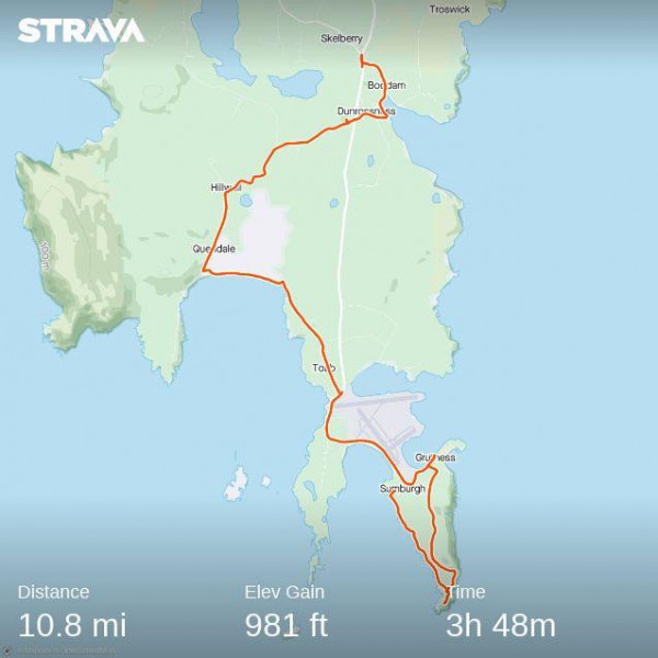
For several years now there has been talk of establishing a long-distance footpath through Shetland from south to north but the official route has yet to be finalised. These notes are no more than a contribution to the discussion. They describe a multi-day journey from Sumburgh Head to the abandoned herring station Fethaland Point, just north of North Roe. I had three guiding principles: the first was that I would get off the roads whenever possible and cut across open country; the second was to pick up the trail each day from the exact point at which I had ended the previous stage, and the third was to use the Shetland buses as my means of getting out to the start point and get home from a bus stop each evening. I slept each night in Lerwick, which meant I only had to carry a day pack. Only one section needed a car: the final circular cross-country route from North Roe to Fethaland Point. This was added as an afterthought. My original intention was to conclude at North Roe itself. I ended on Midsummer's Day and returned at 9 p.m. to walk the last section in the Simmer Dim, finishing at 1 a.m.
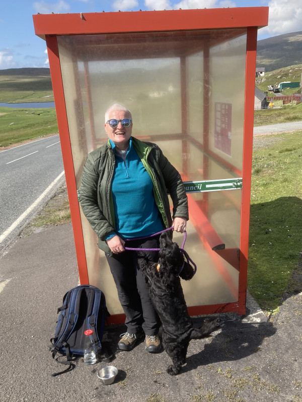
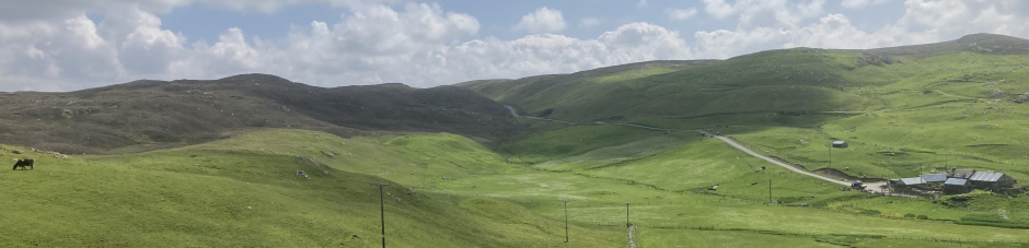
I am grateful to my various companions on the way, and for the Shetland bus drivers who made it all possible by their flexibility in putting me down, and picking me up, where I needed to be. I originally wrote this up with photos as a blog for the Catholic Shetland website. Here I give more practical notes on the route I chose then, with some suggestions for alternative sections which I have walked on other occasions. This route tends to follow the west (Atlantic) coast. The following year I tried a more easterly (North Sea) course, passing through the North Isles to the shore opposite Muckle Flugga lighthouse at the far north of Unst. Both are good but this route will take you through the spectacular volcanic landscape of Northmavine.
Day 1: Sumburgh Head to Robin's Brae.